3 min read
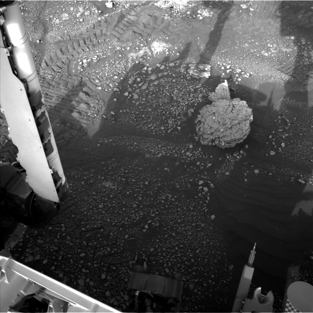
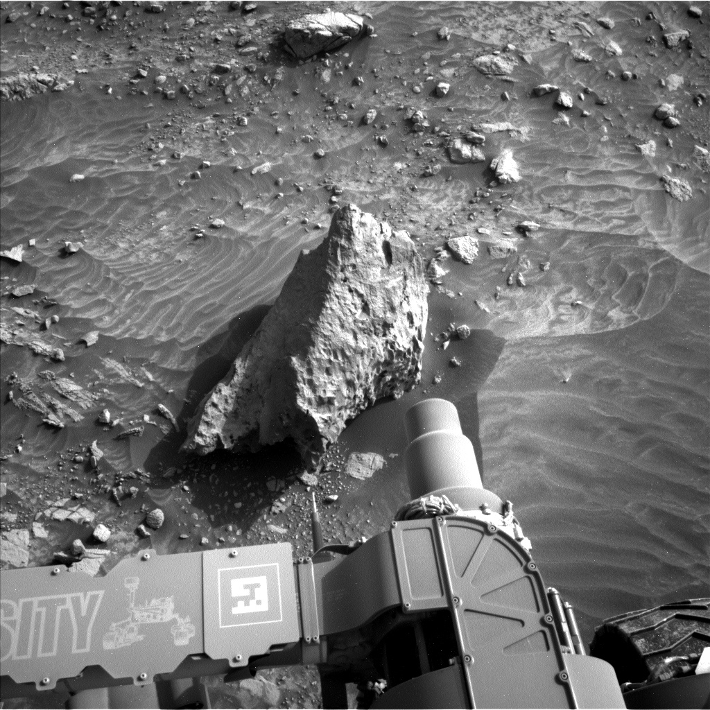
Today was a fun, busy day to plan. Curiosity finally made the drive to a rock called "Muir of Ord," which has a cracked surface. The science team is particularly interested in imaging this rock up close because of the fracture patterns.
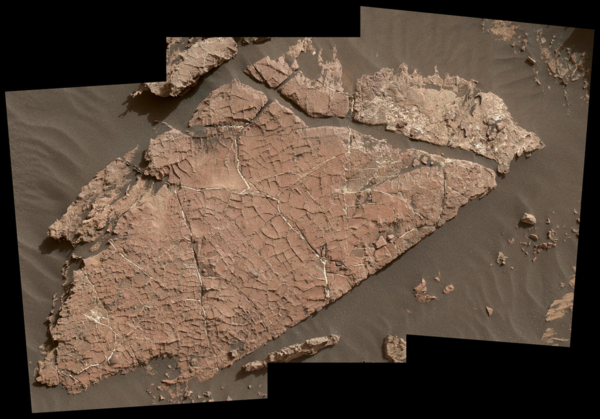
can form from mud drying out when the original sediments were deposited or after exposure of the rock during weathering (
).
If the cracks on Muir of Ord formed when the sediment was first deposited, they tell us something about the depositional environment. If they formed during weathering, they tell us about processes on the slopes of Mount Sharp. Today, we planned observations to help determine which is more likely.
The science plan starts with contact science on the "Crieff" target, which is on the top surface of Muir of Ord. APXS will perform a short analysis to determine its elemental composition, and MAHLI will image it at progressively higher magnifications to allow us to study the crack shapes in detail. MAHLI will then image the side of Muir of Ord at a target called "Crossroads" to see how the cracks cross the layering in the rock. Once the contact science is complete, ChemCam will analyze Crieff with a 3x3 grid, and Mastcam will take a mosaic of Muir of Ord. ChemCam then analyzes the targets "James," "Kilmarnock," and "Crail" with Mastcam providing context images. Finally, we finish up the science at this spot with two more Mastcams of "Aldons Quarry" and "Small Isles."
But Curiosity is not done for the sol! The next activity is a ~30 meter drive with sequential MARDI images to document the large-scale fracture patterns in the outcrop. Once the drive is over, Curiosity will take typical post drive images, including both Navcam and Mastcam mosaics of the workspace and the future drive direction.
The second sol of our plan includes lots of environmental measurements. The morning activities consist of Mastcam imaging of the sun to characterize dust in the atmosphere, a Navcam movie above the horizon to study atmospheric dynamics, and a Navcam movie looking for dust devils. Afternoon activities include a zenith movie to image clouds and their motion, plus a second set of sun images. Geological activities include an AEGIS ChemCam analysis on a rover-selected target as well as a Mastcam 360° panorama. We are looking forward to interpreting all this great new data.
Written by Dawn Sumner, Planetary Geologist at University of California Davis

